


Glasgow and West Central Scotland
Title
Glasgow and West Central Scotland
Glasgow and West Central Scotland
format
Paperback / softback
Paperback / softback
Publisher
Philip's
Philip's
Language
English
English
UK Publication Date
20091005
20091005
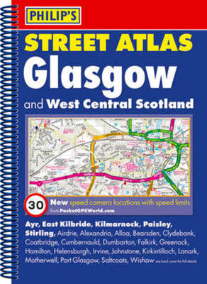
This fully revised street atlas of Glasgow and West Central Scotland gives comprehensive and detailed coverage of the area. The route planner shows all the A and B roads, and can be used when driving to get close to the destination before turning to the relevant large-scale street map.The street maps show every named road, street and lane very clearly, with major roads picked out in colour. The maps are at a standard scale of 3 1/2 inches to 1 mile, with Glasgow city centre shown at 7 inches to 1 mile.Other information on the maps includes postcode boundaries, car parks, railway and bus stations, post offices, schools, colleges, hospitals, police and fire stations, places of worship, leisure centres, footpaths and bridleways, camping and caravan sites, golf courses, and many other places of interest. New to this edition are fixed single and multiple speed-camera locations, with corresponding speed limits.The comprehensive index lists street names and postcodes, plus schools, hospitals, railway stations, shopping centres and other such features picked out in red, with other places of interest shown in blue.
We are Rated Excellent on Trustpilot
Here's what you say about us...
We are Rated Excellent on Trustpilot
Here's what you say about us...
Type
BOOK
Edition
4th colour Edition
Keyword Index
Roads - Scotland - Glasgow - Maps.|Glasgow (Scotland) - Maps.
Country of Publication
England
Number of Pages
320