


Philip's Germany and Netherlands Road Map
Title
Philip's Germany and Netherlands Road Map
Philip's Germany and Netherlands Road Map
format
Paperback / softback
Paperback / softback
Publisher
Philip's
Philip's
Language
English
English
UK Publication Date
20140203
20140203
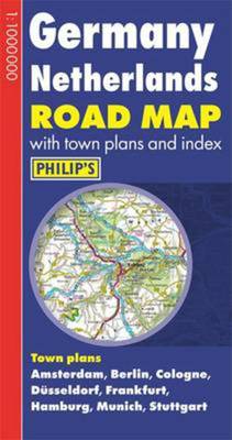
Philip's Germany and Netherlands Road Map is designed for long-distance driving, and is a convenient size for opening out on a table or in a vehicle. Germany and the Netherlands are shown at 10 km to 1 cm (16 miles to 1 inch), an ideal scale for long-distance driving, with major routes and destinations picked out in bold colours. Toll and pre-pay motorways are clearly shown, along with restricted and unrestricted motorway junctions, service areas and rest areas. Town plans are provided for Amsterdam, Berlin, Cologne, Dusseldorf, Frankfurt, Hamburg, Munich and Stuttgart. For holiday planning, the map highlights scenic routes and shows car ferry routes, along with ancient monuments, beaches, castles, cathedrals, national parks, ski resorts, theme parks, world heritage sites, and many other places of interest.
We are Rated Excellent on Trustpilot
Here's what you say about us...
We are Rated Excellent on Trustpilot
Here's what you say about us...
Type
BOOK
Country of Publication
England