


Philip's motoring atlas Britain - George Philip & Son
Title
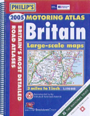
Philip's motoring atlas Britain
Philip's motoring atlas Britain
Author
George Philip & Son
George Philip & Son
format
Spiral bound
Spiral bound
Publisher
Philip's
Philip's
Language
English
English
UK Publication Date
20040705
20040705
A brand-new edition of the best-selling Motoring Atlas of Britain, using fully-updated computer-generated mapping. The unique feature of the atlas is its newly illustrated listings section, including concise descriptions of 850 properties owned by the National Trust, National Trust for Scotland, English Heritage, Historic Scotland and of gardens owned by the Royal Horticultural Society. The 176 pages of main road mapping are at the large scale of 3 miles to 1 inch, and the atlas also includes route-planning maps, an M25 map, 9 large-scale city approach maps, 53 extra-detailed town and city plans, airport and port plans and mapping of northern France. Numerous additional features include restricted motorway junction information, a distances chart, and a central London street plan. Also included is a map detailing National and Forest Parks, Long Distance paths and the unitary authorities.
We are Rated Excellent on Trustpilot
Here's what you say about us...
We are Rated Excellent on Trustpilot
Here's what you say about us...
Type
BOOK
Edition
2nd Edition
Keyword Index
Roads - Great Britain - Maps.|Great Britain - Maps.
Country of Publication
England
Number of Pages
240