


Philip's Navigator Britain 2010
Title
Philip's Navigator Britain 2010 - Spiral
Philip's Navigator Britain 2010 - Spiral
format
Paperback / softback
Paperback / softback
Publisher
Philip's
Philip's
Language
English
English
UK Publication Date
20090907
20090907
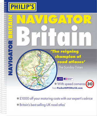
Philip's Navigator Britain 2010 shows speed-camera locations, with their speed limits, and provides over 3000 road names as well as numbers. It also includes a massive selection of 100 indexed town-centre maps, detailed approach maps to 12 major urban areas, plus route-planning maps, a distance table, and a fully comprehensive 43,000-name index.The main road maps are at 1.5 miles to 1 inch (Northern Scotland at 3 miles to 1 inch) and are extra clear and detailed, showing even the smallest roads and lanes that are omitted from other atlases. Every roundabout, junction and slip-road is shown in detail on main roads and motorways. In country areas, thousands of individual houses and farms are marked, along with footpaths and tracks. The alpha-numeric grid is based on the National Grid, so that the atlas can be used with GPS systems, and the grid squares have been made smaller for this edition, making it easier to find locations when using the index.Over 8000 tourist attractions and places of interest are shown and named on the maps, including national parks, nature reserves, RSPB reserves, houses and gardens, beaches, marinas, canals, county showgrounds, camping and caravan sites, shopping villages, World Heritage Sites, long-distance footpaths, sporting venues, park and rides, and ferries.Philip's Navigator Britain is widely used by professional drivers and the emergency services, including national police training, and is recommended in the motoring press and national newspapers.
We are Rated Excellent on Trustpilot
Here's what you say about us...
We are Rated Excellent on Trustpilot
Here's what you say about us...
Type
BOOK
Country of Publication
England
Number of Pages
416