


West Yorkshire - Ordnance Survey
Title
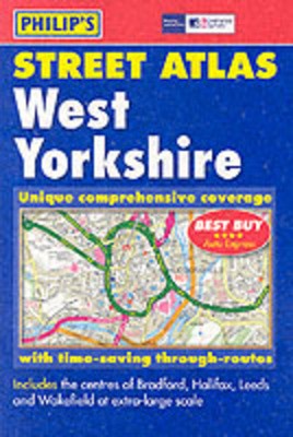
West Yorkshire
West Yorkshire
Author
Ordnance Survey
Ordnance Survey
format
Paperback / softback
Paperback / softback
Publisher
Philip's
Philip's
Language
English
English
UK Publication Date
20030415
20030415
A brand new edition of this successful colour atlas of West Yorkshire, giving the most comprehensive and detailed coverage of the region. No other atlas names every street in West Yorkshire.The mapping is produced by the Ordnance Survey to our specification and gives the user complete coverage of all urban and rural areas. The mapping is at a standard scale of 3.5 inches to 1 mile (2.5 inches to 1 mile in the pocket edition) and is complete with postcode boundaries.The atlas is ideally suited for both business and leisure use. There is a route-planning map and an administrative and postcode map at the front of the atlas. The main maps show every named road, street and lane clearly with through-routes highlighted. School locations are marked and emergency services, hospitals, police stations, car parks and rail and bus station locations are all featured. There is a comprehensive index of street names and postcodes that includes schools, industrial estates, hospitals, sports centres, etc, which are highlighted in colour.Main map scale: 2.5 inches to 1 mile
We are Rated Excellent on Trustpilot
Here's what you say about us...
We are Rated Excellent on Trustpilot
Here's what you say about us...
'Best Buy' *****AUTO EXPRESS
Type
BOOK
Edition
New Edition
Keyword Index
West Yorkshire (England) - Maps.
Country of Publication
England
Number of Pages
304