


Road Map Great Britain and Ireland
Title
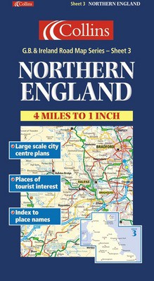
Road Map Great Britain and Ireland - Sheet 3 - Northern England
Road Map Great Britain and Ireland - Sheet 3 - Northern England
format
Sheet map, folded
Sheet map, folded
Publisher
Collins
Collins
Language
English
English
UK Publication Date
20000104
20000104
1:250,000 4 miles to 1 inch. The northern sheet of a 6 sheet map series of the British Isles. The map has a wealth of detail and attractive layer colouring to show land height. Updated for 2001.MAIN FEATURES Exceptionally clear Collins mapping with layer colouring Extremely attractive and easy to read mapping All roads colour classified Includes town centre maps of Bradford, Leeds, Liverpool, Manchester, SheffieldINCLUDES Places of tourist information included Ferry routes & airports shown Distances shown on roads Full index to place namesAREA OF COVERAGECovers an area from the Isle of Man in the west across to the east coast and from the Scottish borders in the north to Birmingham in the south.WHO THE PRODUCT IS AIMED ATThis map is ideal for wall mounting or for use in the vehicle and is suitable for both business or pleasure motoring.
We are Rated Excellent on Trustpilot
Here's what you say about us...
We are Rated Excellent on Trustpilot
Here's what you say about us...
Type
MAP
Edition
Revised edition
Country of Publication
England